Industry

Computer vision for drones, satellites and geospatial data

We turn aerial imagery into things you can count, measure and put on a map — not just pictures to scroll through.

Book a free 15-min call

What we build for this sector

  • Object detection converted from pixels to latitude/longitude
  • Asset inventory, agriculture and construction monitoring
  • Photogrammetry and 3D models from drone footage
  • LiDAR point-cloud processing and analysis
  • Multi-model review of long aerial and incident videos

Relevant work

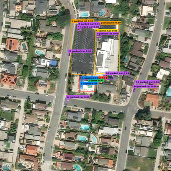
Object detection and georeferencing in aerial imagery Drones & geospatial

Object detection and georeferencing in aerial imagery

Problem
A client needed an inventory of assets spread across many square kilometres, and manual counting from imagery was too slow to repeat.
What we built
A detection pipeline for high-resolution drone and satellite imagery that converts every detection from pixels into latitude/longitude with real-world dimensions.
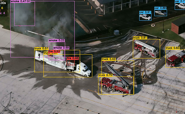
Multi-model detection for aerial and incident video Emergency response

Multi-model detection for aerial and incident video

Problem
One model per pass meant reviewing the same footage several times to find vehicles, smoke and people.
What we built
Several specialized detectors run on every frame and their outputs merge into one result set for review.

Sensors we handle here

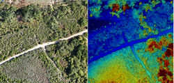
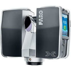
LiDAR & drone mapping exampleLiDAR & drone mapping
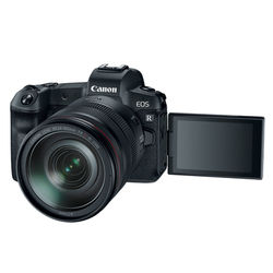
RGB / Electro-optical exampleRGB / Electro-optical
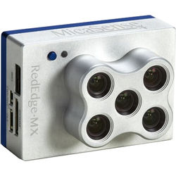
Multispectral exampleMultispectral
Thermal IR (FLIR) exampleThermal IR (FLIR)

Tell us what you need to see.

Fifteen minutes, no cost, no obligation — we'll tell you whether the data you have can support what you want to build.

Book a free 15-min consult